
STRENGTHENING INDIGENOUS STEWARDSHIP IN THE GREAT BEAR RAINFOREST | SPIRIT BEAR ADVENTURES
KLEMTU, CANADA
2026 BALLOT FINALIST | NOMINATED BY TARTANBOND COMMUNICATIONS
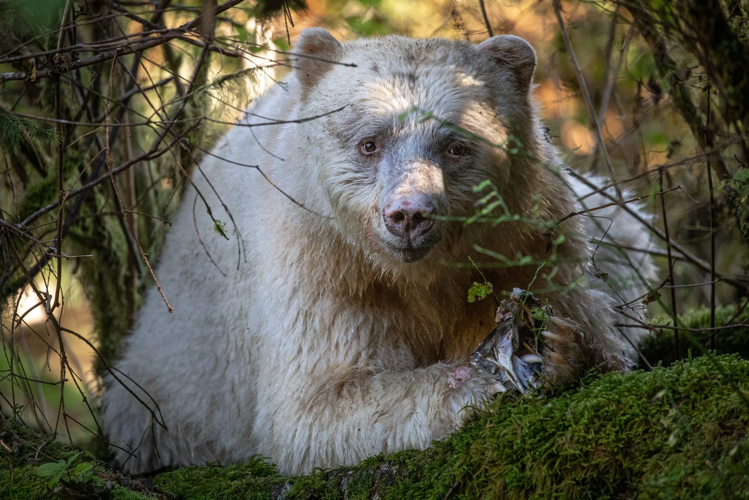
This Indigenous-led project deploys a network of wildlife camera traps and salmon monitoring across Kitasoo Xai'xais Territory to better understand how climate change is affecting wildlife populations and habitat use. The data will guide future protected areas, sustainable tourism planning, and Indigenous stewardship while training local guides and community members to lead long-term conservation efforts.
The Issue:
Wildlife populations in Kitasoo Xai'xais Territory may be changing due to climate-driven shifts in food availability, but there is currently insufficient data to understand these changes or guide conservation decisions. Without this information, it is difficult to identify the root causes of species distribution changes, plan new protected areas, or determine sustainable levels of tourism. The project addresses this gap by deploying camera traps and monitoring salmon populations to build a long-term wildlife database that will inform Indigenous-led conservation planning, future protected areas, and tourism carrying capacity.
What are Measurable Outcomes Expected from the Funding of this Project?
A database of wildlife sightings is established to track wildlife populations and distribution.
Six community members are trained to deploy camera traps and collect wildlife monitoring data.
Improved understanding of biodiversity and wildlife distribution across Kitasoo Xai'xais Territory.
What Would a Successful Project Result In?
A long-term wildlife monitoring network provides the Kitasoo Xai'xais Nation with the data needed to guide new protected areas, sustainable tourism management, and wildlife conservation, while local guides continue leading monitoring efforts supported by tourism revenue.